
Clarksville Previous Residents by Era
A Clarksville address has several overlapping histories. The Clark County Recorder gives the ownership chain, while Jeffersonville Township Public Library materials add occupants, structures, deaths, and local events. Begin with the period being studied. Recent ownership is best tied to the current parcel and recorded instruments. Earlier work often moves to deed indexes, city directories, census schedules, newspapers, and maps. No one source supplies a continuous list of previous residents, so a name should retain its source date and its role as owner, occupant, official, or applicant.
| Source | Years It Covers | Where Held | What It Shows |
|---|---|---|---|
| Recorder deed index | Online from November 1999 | Clark County Recorder, Tapestry or Laredo | Named parties, instrument date, legal description, and image route |
| Historical deed indexes | Grantor 1860–1900; grantee 1870–1900 | JTPL Indiana Room | Earlier owners and deed-book leads |
| Regional city directories | Runs from 1860–61 through later regional volumes | State Library and JTPL | Dated names, roles, firms, and sometimes addresses |
| Census schedules | Territorial 1807; federal runs through 1930 at JTPL | JTPL and library databases | Households at one enumeration date |
| Maps and local files | Sanborn years 1886, 1898, 1904, 1911, 1925 | JTPL, Library of Congress, Indiana Memory | Street, structure, use, and parcel context |
For a late twentieth-century or newer address, start with XSoft and the Recorder. For an older Clarksville house, establish its legal land identity first, then use library sources. The Indiana Room also holds local birth, death, probate, cemetery, coroner, and obituary indexes. These may close a household trail, but an index remains a pointer to the underlying record.
Ownership and occupancy should be logged in separate columns. A deed names parties to a transfer, not all people in the building. A directory or census can name a household for one date, but it may omit boarders, use initials, or place Clarksville entries inside a Jeffersonville-centered volume. Two independent records are strongest when their dates, address form, and role agree.
Date the Clarksville Address First
Write down the present street number, street spelling, parcel ID, subdivision, lot, block, and legal description before attaching a person to the property. Clarksville Code §95.41 governs address assignment and the treatment of numbers on existing or annexed property, but the research found no single townwide renumbering year. An older number must therefore be tested against a dated plat, deed, directory page, or map instead of being treated as an automatic match.
The Clark County XSoft property search can anchor the current parcel, and Elevate GIS supplies shape and map context. A parcel may have been split or combined. A mailing address can also differ from the physical, or situs, address. Keep those values separate until the evidence joins them.
Clarksville Deeds Reveal Prior Owners
The Clark County Recorder holds permanent land records in Jeffersonville. Its deed and miscellaneous indexes reach back online to November 1999. Earlier books and indexes require the office, library microfilm, or a finding aid. Recorder staff do not perform title searches or give legal opinions, but public computers are available and staff can copy a known recording.
- Use the assessor record to capture the current owner, parcel ID, and legal description.
- Find that owner’s purchase instrument in Tapestry or Laredo and note the seller, date, and document number.
- Search the seller as a grantee, the party who received property, to locate the earlier purchase.
- Repeat the seller-to-buyer link while the online index covers the needed years.
- For earlier Clarksville deeds, carry the legal description into office books or JTPL’s historical indexes.
- Grantor
- The party who transfers an interest in land.
- Grantee
- The party who receives that interest.
- Chain of title
- The linked sequence of recorded transfers for the same land.
- Legal description
- The lot, block, subdivision, parcel, or boundary wording that identifies land more reliably than an old street number.
Tapestry accepts names, document number and type, recording dates, parcel, subdivision, lot, block, and metes-and-bounds terms. Its guide documents the percent sign as a wildcard and warns that subdivision names must match exactly. Search clicks may cost money. A blank result does not prove the absence of an older deed.
If the street search fails, try the parcel number, exact subdivision, lot and block, metes-and-bounds phrase, former owner, and older spelling. A metes-and-bounds description identifies land through measured boundary calls. Record every document number before buying or requesting an image. The Recorder can make a copy when the recording details are known, while certified copies carry the office’s posted certification charge.
Regional Books Hide Clarksville Names
The strongest local directory quirk is useful for previous-resident research. A Caron volume labeled around New Albany and Jeffersonville contains a “Government of Clarksville” block. Search the whole regional book, not only titles that include Clarksville. The 1909–1910 scan identifies town officials and school-board members, but does not give their home addresses. It proves a dated civic role, not occupancy at a house.
View the Caron regional directory scan before using its OCR text.
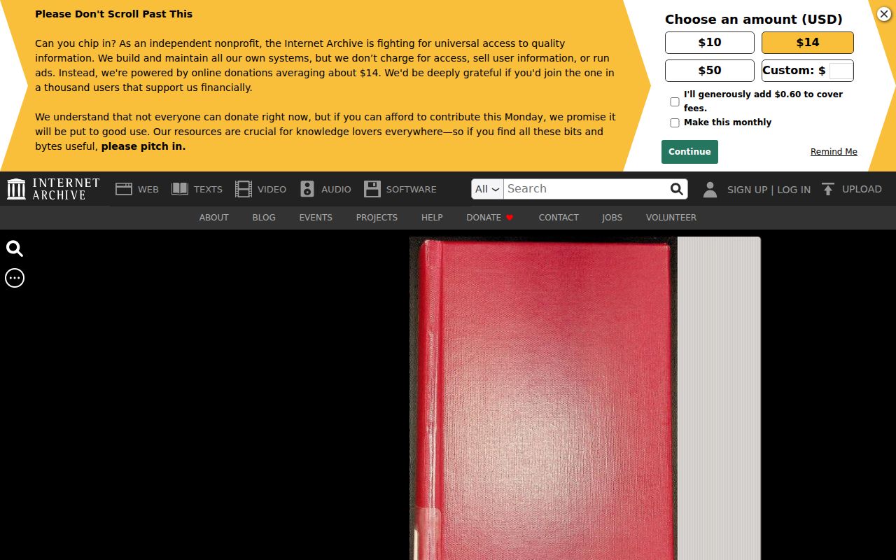
The page image preserves headings and context that OCR can split or miss. Record the publisher, year, page, locality heading, visible role, and exact spelling.
Maps Test Clarksville House Identity
Sanborn fire-insurance maps can test whether the same structure and street existed in a target year. JTPL lists area map years for 1886, 1898, 1904, 1911, and 1925. The Library of Congress 1911 item is titled for Jeffersonville but identifies Clarksville, Claysburg, and Port Fulton as secondary locations. Its 36 sheets may show street names, footprints, building use, construction, and numbering, not a complete resident list.
Indiana Memory adds ownership maps, photos, and ephemera. Its Clarksville Historical Collection was organized in 2021 from local archival material. A collection hit is context until the item ID, date, and place have been checked against the parcel.
The early Clarksville landowner item illustrates the kind of dated item that can extend a property trail.
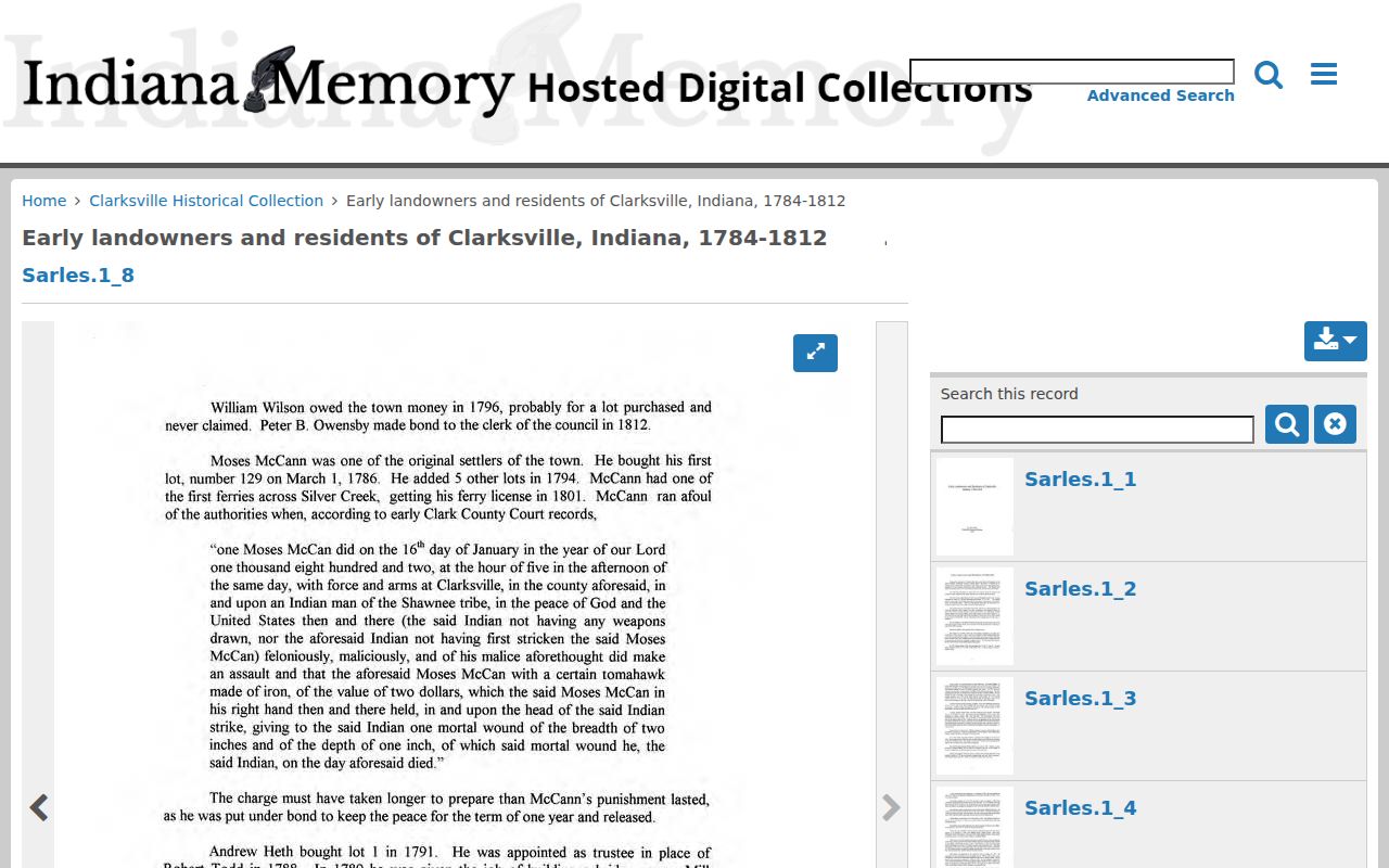
Its stable collection and item identifiers make it easier to cite than a broad results screen.
A map can also reveal that two records describe different buildings on the same land. Compare footprint, street side, lot line, use, and number. When an address appears to shift, keep both the old and current form until a plat or deed confirms equivalence. Clarksville’s address code supplies a reason to test continuity, not a shortcut for declaring a match.
Clarksville Previous Residents Beyond Deeds
Owners are only part of a Clarksville house history. A directory, census schedule, obituary, or newspaper can identify past residents who never held title. No dedicated Clarksville reverse, or criss-cross, run was confirmed. A criss-cross directory is arranged by address rather than surname. Do not claim address-indexed coverage where the catalog supports only an alphabetical regional volume.
- Select a directory year near the target date and search the full regional volume for the street, surname, and Clarksville locality heading.
- Check the nearest public census year and note the enumeration district, the census area used to organize household pages.
- Compare names, ages, roles, and nearby households without treating one matching surname as proof.
- Use a deed, obituary, newspaper, cemetery index, or probate file to confirm the link.
JTPL holds the 1807 territorial census and federal Indiana schedules across 1820–1880 and 1900–1930. Its obituary index and newspaper microfilm add dated events. The full directory shelf is described on the Clarksville city directory page.
Lawful use. Research previous residents for house history, genealogy, heirs, or personal curiosity. Never use an old or current record to track, threaten, or harass a living person.
The 1937 Clarksville Records Gap
Town history says flood damage caused the loss of records about changes to Clarksville’s board. That gap is a local warning: missing municipal minutes do not prove that no appointment or action occurred. Reconstruct the period through JTPL’s flood collection, newspaper microfilm, county filings, maps, and later town histories. Label the result as a supported reconstruction unless an original town record survives.
JTPL’s local digital collections provide the best online entry to flood material and Clarksville history.
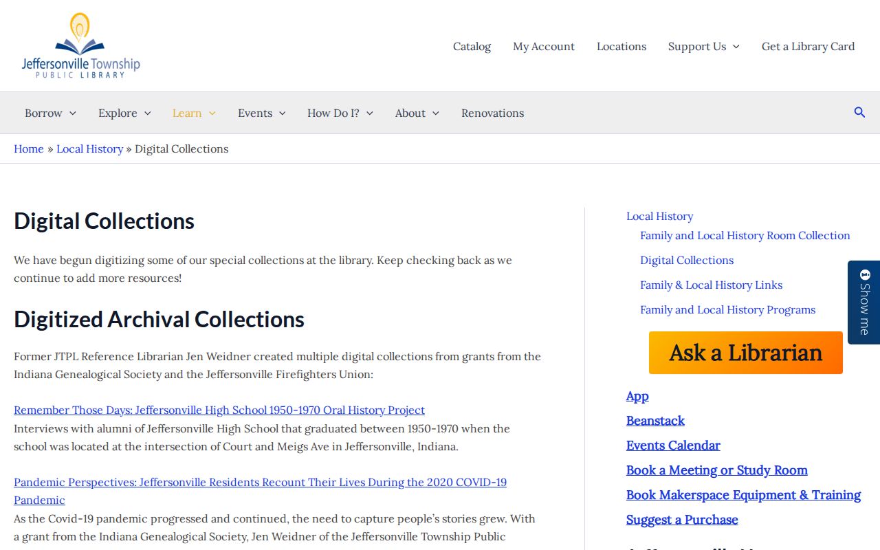
The collection page also leads to historical maps, yearbooks, family documents, and regional visual history that can explain an address when town files fail.
Clarksville House Research at JTPL
The Jeffersonville Township Public Library Indiana Room is the main fallback when the online deed index stops. It holds historical deed indexes, directories, census microfilm, newspapers, Sanborn maps, court and probate series, cemetery material, and an obituary index. The main library is at 211 E Court Avenue in Jeffersonville, while the Clarksville branch is at 1312 Eastern Boulevard. Research contact is 812-285-5641 or dstepro@jefflibrary.org.
Ask for a specific name, place, record type, and date range. Copies are posted at $0.10 per page, but confirm whether a scan or staff search carries other terms. The State Library Clark County genealogy guide is another route to courthouse, newspaper, marriage, land, and probate sources.
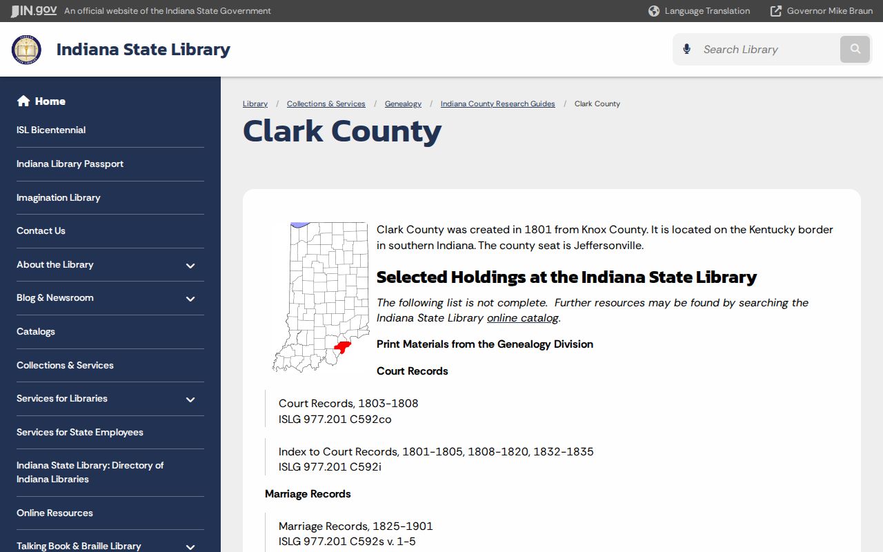
Use the guide as a finding aid, then cite the actual deed book, directory page, census sheet, or archival item that supports the name.
The Clark County Museum offers another offline lead for family papers, photographs, and early maps. Its collections are not a guaranteed online name index, so contact staff with a focused request. For a person who died in or near the house, ask JTPL whether the Clarksville town-death microfilm, coroner index, cemetery files, obituary index, and newspaper run overlap. That source overlap can separate two people with the same name.