
Clarksville Neighbors Around One Address
A sound block search defines neighbors as adjacent parcels or a named civic geography. Elevate GIS measures shared boundaries. XSoft and Recorder records add owners and recorded parties at specific dates. Historical maps and directories can supply earlier context, while town planning records explain land use. No official consolidated Clarksville neighborhood-association or HOA roster was located, and Indiana Voters does not offer a casual street-wide browse.
| Source | What It Shows About a Block | Access |
|---|---|---|
| Elevate GIS | Parcel geometry, adjacent lots, streets, zoning, and map layers | Free dynamic map |
| XSoft and Recorder | Dated parcel owner and recorded-party clues | Public dynamic search or paid index |
| Sanborn and JTPL maps | Building footprints, streets, use, and materials by map year | Library, microfilm, and scans |
| Indiana Voters | Individual status and polling information, not a block roster | Restricted lookup and approved data request |
| Town planning and boards | Zoning, development, meetings, and civic contacts | Official pages, SmartGov, or APRA request |
An owner name is not an occupant list. Trusts, firms, protected persons, and nonresident owners can appear on land records. Keep “owner,” “recorded party,” “voter,” and “occupant” as separate roles. If the goal expands from the immediate block to every parcel on a road, use the Clarksville street directory workflow.
Choose a clear boundary before collecting records. Shared lot lines make a precise adjacent-parcel set. A street segment between two intersections is a different set, and a planning district may stretch much farther. Write that definition beside the search date. It prevents a later reader from mistaking a hand-picked group for all Clarksville neighbors in an official area. It also keeps a corner parcel, rear lot, or parcel reached from another street from being lost merely because its mailing label looks different.
Map a Clarksville Block Parcel by Parcel
The current Elevate map supports pan, zoom, layer and legend changes, parcel selection, identify, and print. No documented radius tool or automatic neighbors export appeared in the inspected interface. The reproducible method is manual: select the target, show each shared boundary, and record each touching parcel separately.
- Locate the address in Clark County Elevate and verify the street label and target parcel.
- Pan and zoom until every parcel sharing a boundary is visible.
- Select each touching parcel, recording only the parcel ID and address needed for the question.
- Check each parcel separately in XSoft and the Recorder, keeping the search date.
- Save the map view and labels so another reader can repeat the selection.
The Clarksville Planning and Zoning page shows the official land-use route.
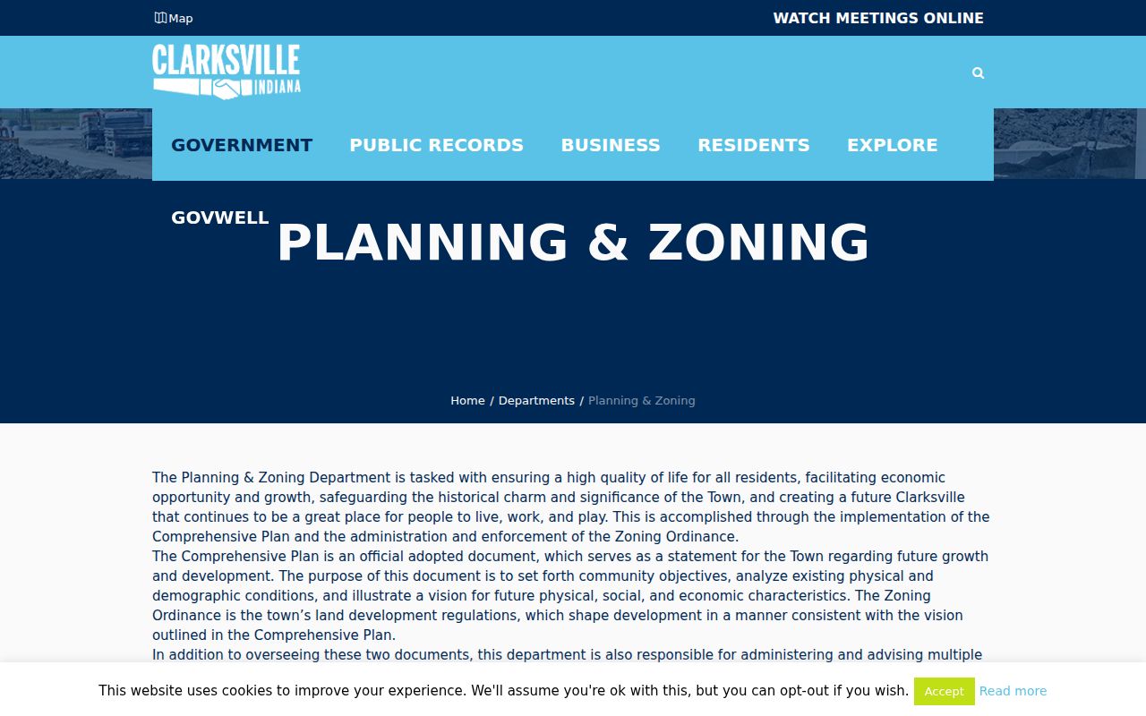
Planning records add use and development context. They do not identify who belongs to a neighborhood group.
If Elevate returns to a countywide view, do not select a parcel by visual guess. Re-enter the street address or parcel ID, compare the road label, and confirm the same shape in XSoft. Save the layer names shown on the map. County instructions say zoning can be enabled through Map Contents and the county zoning layer, while the current assessor page points to Elevate. That difference is a portal-history clue, so the live URL and access date matter.
Verify Clarksville Neighbor Ownership
Use XSoft after mapping the block because the assessor locates and appraises taxable property. Its dynamic record may show an owner, situs, mailing address, parcel ID, value, classification, sales, and exemption concepts. The visible screen also carries covered-person and data-date notices. A homestead flag, if displayed, means an owner claimed a tax benefit for that period. It is not proof of current occupancy.
For a title event, search the Clark County Recorder. Tapestry and Laredo index deeds and other instruments online back to November 1999; older books and indexes require the office or library. The Recorder sits in Jeffersonville because that is the county seat, even when the parcel situs is Clarksville. Attach the instrument date and legal description to any owner change.
The three systems answer separate questions. GIS shows where the lot lies. The assessor supplies the county’s dated property and appraisal record. A recorded deed shows parties to a transfer and the land language used in that instrument. Even together, they do not show every person sleeping, receiving mail, or spending time at the address. When the ownership record looks stale, record the as-of notice and contact the custodian instead of filling the gap from a commercial compilation.
Centralia Court Shows Block Change
Centralia Court offers a bounded Clarksville example instead of a citywide guess. The town says it was platted in 1926 and contains 35 homes on two streets. Five homes date to the late 1920s, 21 to the 1940s and 1950s, and four to 1956–1965. Its National Register listing was announced in 2022. Those build phases let a researcher compare parcel geometry, deeds, permits, directories, and historical maps without claiming a resident roster.
Read the official Centralia Court announcement before using the district as block context.
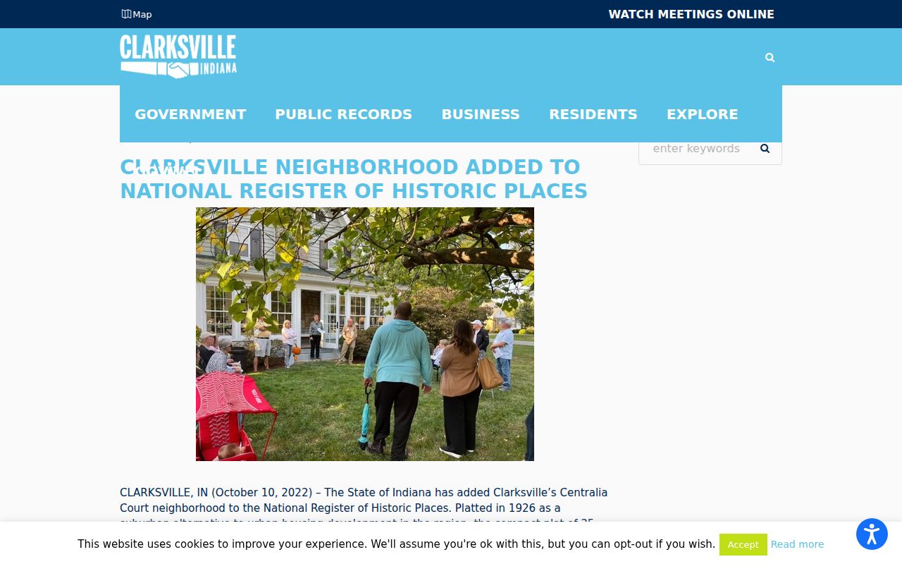
The historic designation documents place and construction history, not present membership or occupancy.
For each Centralia Court parcel, compare the 1926 plat identity with later deed language and building evidence. A home from a later build phase may sit within the same historic district but have a shorter structure history. This makes the district valuable for understanding block growth. It does not make all 35 parcels interchangeable, and it does not support a claim that current Clarksville neighbors share an association.
Clarksville Civic Contacts, Not Rosters
No official umbrella directory of Clarksville neighborhood associations, HOAs, or block watches surfaced in the research. The dependable routes are the town’s boards and commissions, Planning and Zoning, a property-specific governing body, and dated historic-place records. Metro United Way profiles for Clarksville South-Old Clarksville and Clarksville West are descriptive nonprofit geographies. They are not official HOA boundaries.
Planning and Zoning
Use zoning, comprehensive-plan, and application records for land-use context around a Clarksville block.
Boards and Commissions
Use official rosters and meeting records for civic contacts and dated public decisions, not a resident list.
Building Commissioner
Use permits, inspections, certificates, and code records tied to a site, permit number, and status.
The Clarksville Building Commissioner page explains the municipal permit and code route.
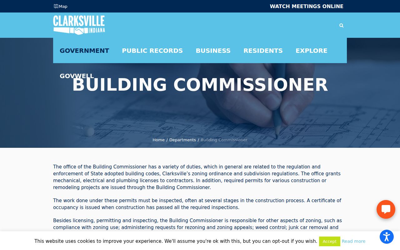
SmartGov can also accept a Planning and Zoning history or records request when the public screen does not expose the needed file.
SmartGov’s public landing page describes permits, licenses, inspections, documents, fees, and code complaints. Request a file by site address, parcel, permit or case number, date range, and status. Under the Indiana Access to Public Records Act, an agency can provide an existing record, but it need not create a custom list of people around an address. Asking for a specific permit or meeting record is more likely to identify the right Clarksville block event.
The Indiana Public Access Counselor publishes guidance for resolving questions about access to existing government records.
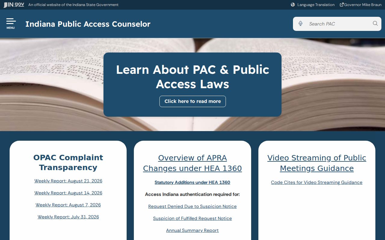
Use that guidance to frame a focused request and to distinguish a withheld record from a list that the town does not maintain.
Historic Records Rebuild Clarksville Blocks
For former neighbors, compare the same block in Sanborn maps, plats, directories, census schedules, and newspapers. JTPL holds area Sanborn years for 1886, 1898, 1904, 1911, and 1925, plus directories and census microfilm. A map dates a structure and street layout. A directory or census may name occupants at one point. Neither proves continuous residence.
Street names and numbers can change, parcels can split, and a mailing address may differ from a situs address. Join records through parcel IDs, subdivision and lot references, legal descriptions, and dated map labels. If two names match, require another common fact before deciding they are the same person.
JTPL’s Indiana Room also holds newspapers, obituary material, cemetery indexes, coroner reports, and early court and probate series. Use those sources to explain a dated household or event, not to expose a modern contact detail. A newspaper notice can confirm that a named person was tied to a Clarksville address on one date. A census page is also a snapshot. Neither should be stretched into a claim about how long the person stayed or who lives there now.
Clarksville Neighbor Sources Compared
Official records are narrower than commercial neighbor tools, but their role and custodian are clearer. A compiled commercial result may mix licensed, public, and self-reported data without showing when each element changed.
| Source type | Strength | Limit |
|---|---|---|
| Official parcel and deed records | Dated owner, parcel, instrument, and legal-description evidence | Does not list every occupant |
| Town planning and permit records | Site-specific public action and development context | Applicant or owner is not always a resident |
| Commercial compiled tools | May place several clues in one result | Can be stale, wrong, or unclear about source dates |
Prefer the official record when the question concerns an owner, parcel, permit, or civic decision. Use no source to infer private household members.
A good result remains modest: parcel A touched parcel B on the saved map, a named owner appeared in a dated assessor record, and a recorded instrument provided a separate ownership event. A poor result combines a similar name, an old directory, and a commercial address into a confident identity. For Clarksville neighbors, source labels and dates are more useful than a large list.
Privacy Limits for Clarksville Neighbors
Indiana Voters handles an individual’s status and polling lookup, not an open block list. Computerized voter data requires the VRG-24 request, a stated permissible purpose, and county approval and use rules. Do not merge parcel owners with an unofficial voter list. Ballot choices are confidential, and protected voter records receive special treatment.
Indiana’s Address Confidentiality Program provides a substitute address to eligible victims, and XSoft displays a covered-person notice under state law. Utility accounts, non-owner household members, protected addresses, and sealed or redacted safety records remain private or restricted. A missing name may reflect a safeguard rather than an error.
Keep only what the civic or property question needs. A parcel ID, source date, role, and custodian link are often enough. Do not republish a full date of birth, private phone number, protected address, or family relationship merely because an old scan or data product displays it. Corrections belong with the office that maintains the source record.
When a safety issue concerns an actual incident rather than parcel research, the Clarksville Police record-copy page identifies the official route for available report records.
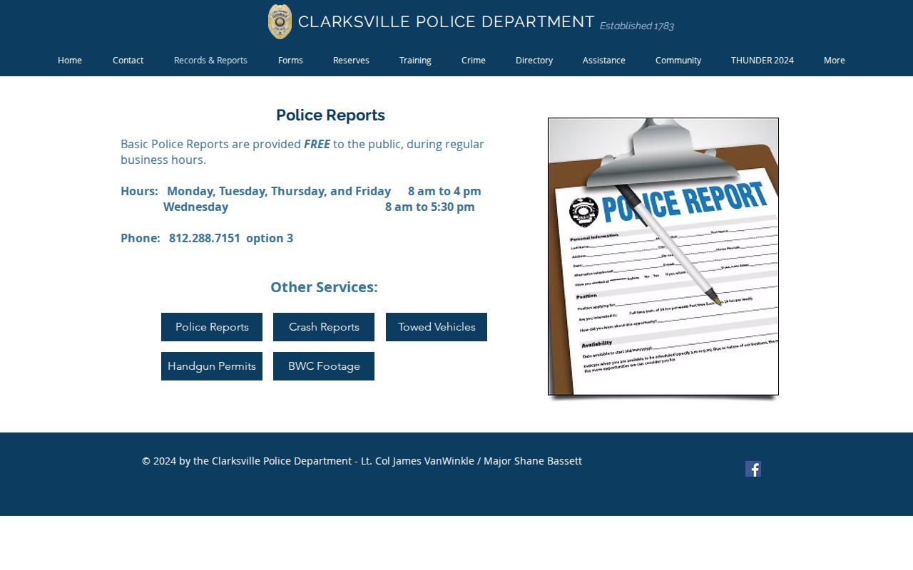
A report copy documents the agency record and its date. It should not be used to build a speculative profile of Clarksville neighbors or reveal protected details.
Lawful use. Research Clarksville neighbors for civic awareness, history, reconnection, or personal safety. Public access never permits repeated unwanted contact, surveillance, intimidation, or harassment.